Watchable Wildlife in Custer State Park
bison, Bison Center, buffalo, Custer, drive, South Dakota, state park, visitor center, wildlife
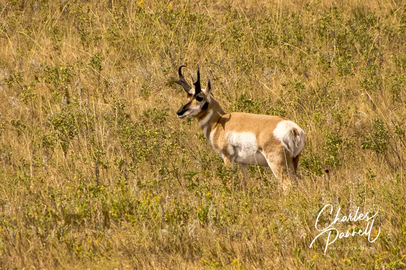
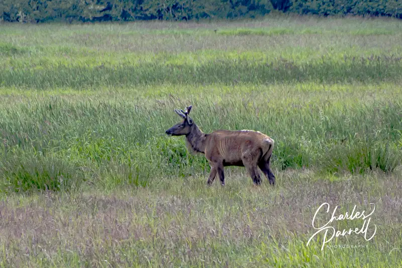
Although Custer State Park (gfp.sd.gov/parks/detail/custer-state-park/) is primarily known for its sizable bison population, this South Dakota favorite also boasts a healthy mixture of other wildlife. From prairie dogs and burros, to elk and even bighorn sheep, there’s no shortage of animal life in the park. And although Custer State Park occupies a whopping 71,000 acres of Black Hills real estate, the southern section of the park is the ground zero for watchable wildlife. Not only is the scenic Wildlife Loop Drive located in this section of the park, but there’s also a visitor center and the Bison Center along the way. And since it’s just a short drive from Badlands National Park, it’s a great addition to any South Dakota road trip.
Drive She Said
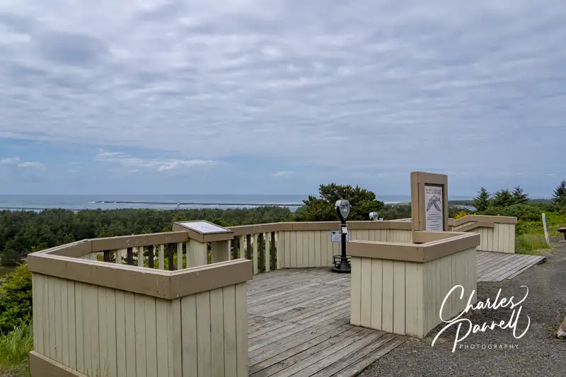
The best place to start your wildlife adventure is at the Custer State Park Visitor Center, which is located at the intersection of Wildlife Loop Road and Highway 164. There’s accessible parking and level access to the main building, which houses exhibits and a theater. And if you need directions or have a few questions, there are plenty of folks available to help.
After you get your bearings, hop on the 18-mile Wildlife Loop Drive, which runs from the visitor center to the Bell Station Entrance. It takes about 45 minutes to complete the drive as the speed is limited to 25 mph; but that time is variable due to wildlife — especially bison — that sometimes linger on the road. Basically, you’re on their timetable — whenever they decide to move, so can you. But then again, that’s part of the fun.
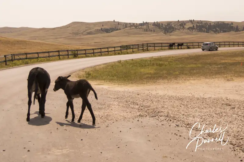
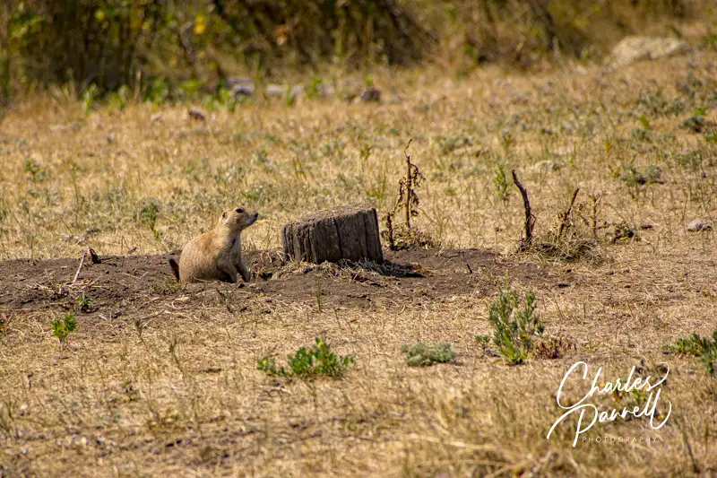
There are lots of pullouts along the drive, and you can get some great windshield views without getting out of your vehicle. The route travels through pastures and forests, with a prairie dog village along the way. And be on the lookout for bighorn sheep which sometimes linger near the road. Then there are the feral burros, which can be overly curious and bold.
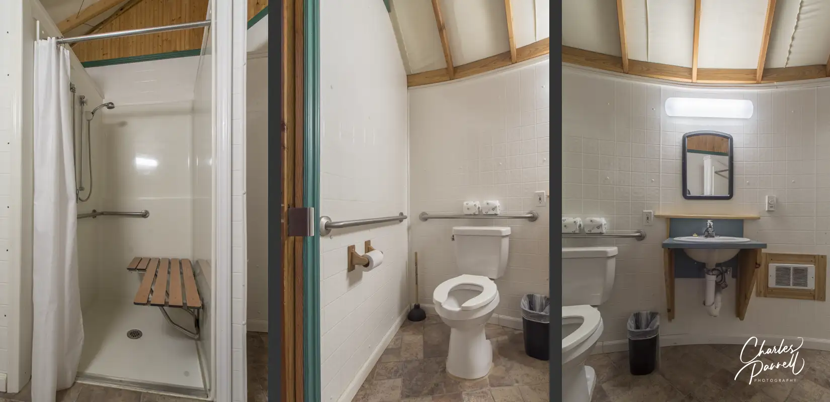
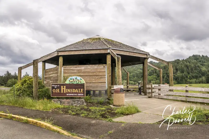
The Wildlife Station Visitor Center is located about eight miles from the beginning of the loop. Unfortunately the old CCC building only has steps up to it; however there are accessible vault toilets and an accessible inside picnic area near the parking area. Consider it a shady spot to stop for lunch.
Of course there are no guarantees on how much wildlife you’ll spot along Wildlife Loop Drive, but for optimum game viewing hit the road early in the morning or just before sunset.
Visit the Bison Center
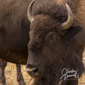
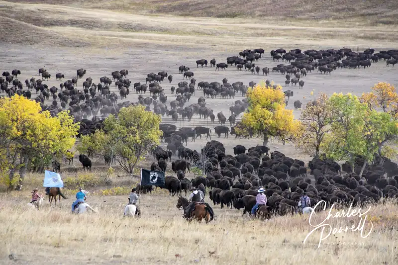
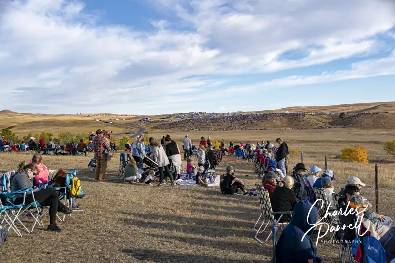
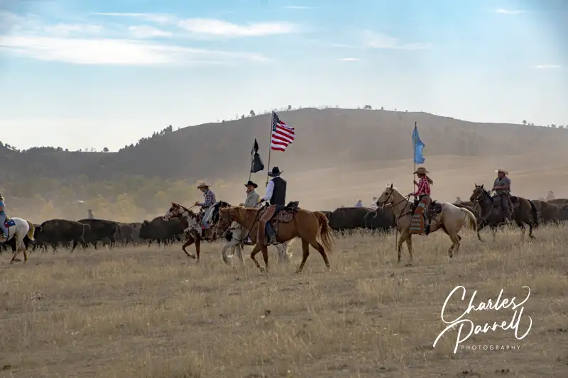
Make sure and stop at the new Bison Center, which is located about two miles from the Wildlife Station Visitor Center. There’s accessible parking near the entrance, with level access to the building. Inside, there are exhibits which trace the history of the 1,500-head buffalo herd, which are descendants of the 36 head that were introduced in 1936. As the herd grew, it outgrew the available forage, so a yearly roundup (emerginghorizons.com/head-over-to-the-custer-buffalo-roundup/) was instituted to keep the population in check. Interactive exhibits at the Bison Center show how the buffalo are inoculated and what animals are sold, and how licensed hunters also help prevent overpopulation.
And if you’ve every wondered what the correct term is — buffalo or bison — there’s an exhibit which answers that question too. In short, both are considered correct. Buffalo is the French word for beef animal, while bison is the scientific name. And for the most part, buffalo is the preferred term in the park.
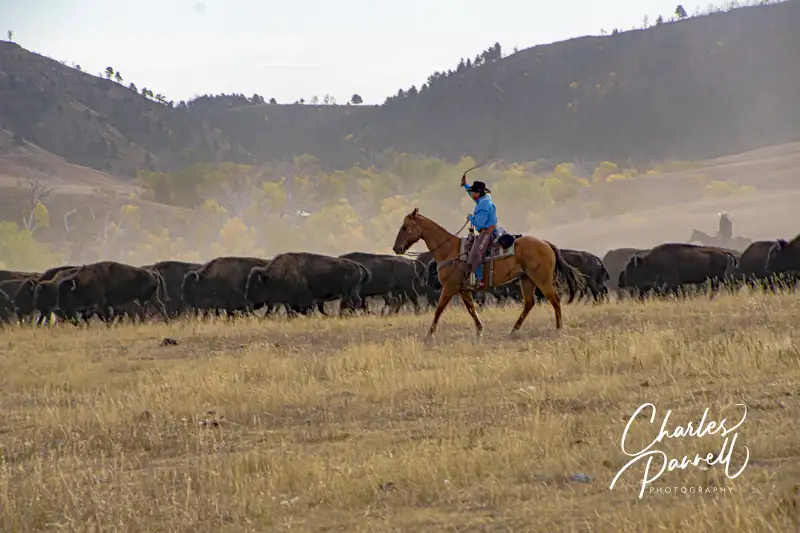
There’s also level access to the gift shop at the Bison Center, where you’ll find a number of buffalo-themed items. And there’s a level dirt path to the buffalo paddocks which are located on the far side of the parking lot. Take some time to check them out as you may see a few buffalo there; however there are more animals present at Buffalo Roundup time. All in all the Bison Center offers a good overview of one of the world’s largest publicly owned buffalo herds. Plan ahead though, as the Bison Center is only open from Memorial Day to the end of September.


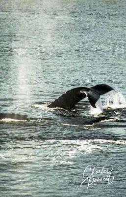
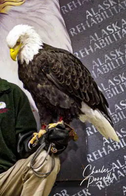
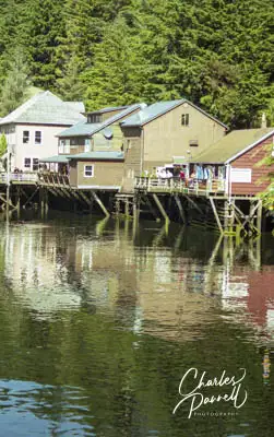
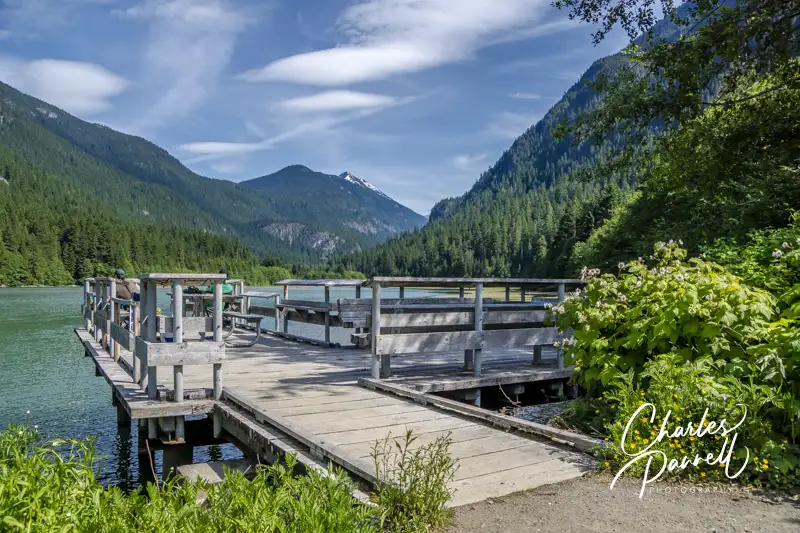
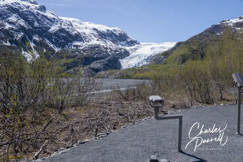
 If a cruise to Alaska is in your future, then you’re in luck if you’re a wheelchair-user or slow walker. Although most of the larger cruise lines have made great efforts to make their ships more accessible, the same cannot be said of shore excursions outside the US. On the other hand, not only will you find accessible transportation in most Alaska ports, but there’s also an interesting collection of accessible attractions to choose from. With that in mind, consider these accessible Alaska shore excursions on your next Inside Passage cruise.