Wheelchair-Accessible Columbia River Hikes
Balfour-Klickitat, Catherine Creek, Columbia River, hike, Sam's Walker, trail, universal access, Washington, wheelchair
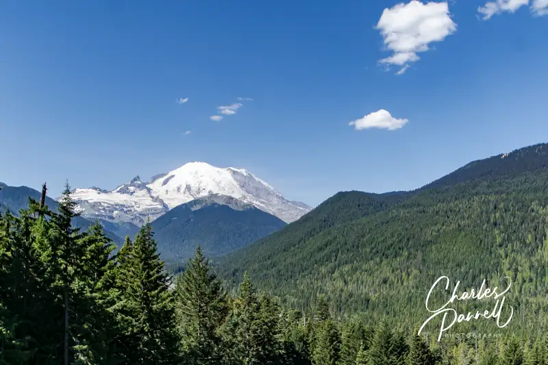
The majestic Columbia River flows through the Pacific Northwest and forms the border between Washington and Oregon. On the Oregon side of the river, Interstate 84 travels through several mid-sized cities as it skirts the waterway. That said, Highway 14 on the north side of the river offers a bucolic view of the Washington landscape. Even better, the northern route boasts several wheelchair-accessible hikes. So take the time to hop off the interstate, cross the river, and enjoy these scenic wheelchair-accessible Columbia River hikes on your next Pacific Northwest road trip.
Sam’s Walker Trail
While traveling on the western part of Interstate 84, the best — and frankly the most scenic — river crossing is at the Bridge of the Gods (www.portofcascadelocks.gov/bridge-of-the-gods), in Cascade Locks. After you cross this two-lane toll bridge, head west on Highway 14 for about 10 miles to get to the first accessible hike on the list — Sam’s Walker Trail. When you hit Skamania Landing Road, turn south and and follow the signs to the trailhead. It should be noted that Skamania Landing Road is a loop, so be sure and take the western turnoff.
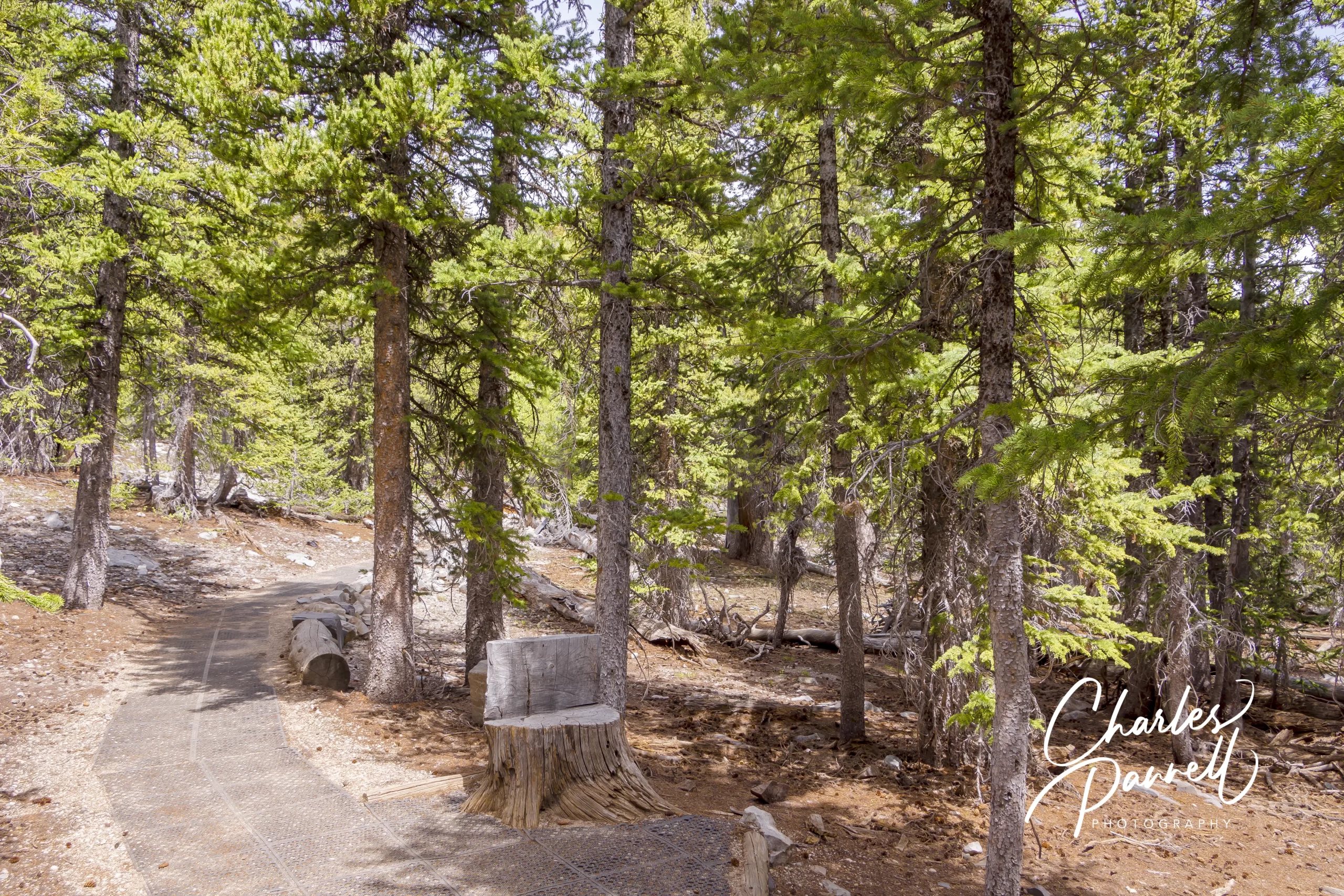
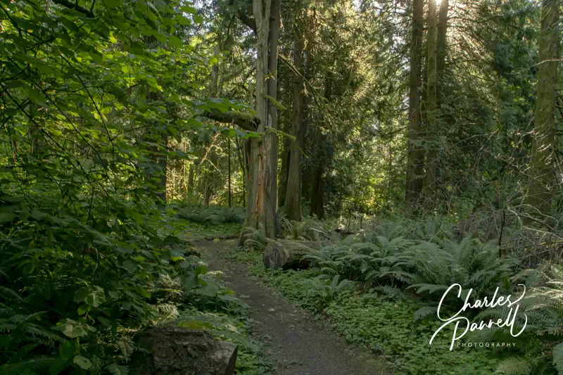
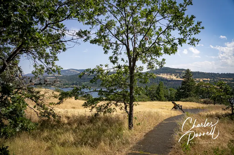
There’s no accessible parking in the gravel lot, but there’s plenty of room to parallel park an adapted van. An accessible vault toilet sits on one side of the parking lot, and an accessible shaded picnic table graces the other side. There’s level access over to the 1.2-mile hard packed dirt trail. It winds through a sweeping meadow, then passes through a shady cedar forest before it loops back to the trailhead,.
Sam’s Walker Trail is pretty well maintained, but there may be some slight vegetation overgrowth depending on the season. It’s mostly a flat trail, although there are some slight elevation changes along the way. Still it’s well within the ADA guidelines for accessible trails; as the steepest grade is only 4%, and that’s just for a few feet. It’s a great spot for a spring wildflower hike, and the meadow is an excellent birding venue. As an added bonus, there’s an accessible picnic table set off the trail under a few trees, about halfway along the hike If the table in the parking lot is occupied, it’s a great spot for a picnic lunch. And even if the parking lot table is available, the trail table offers more privacy. Sam’s Walker Trail makes for a nice accessible hike throughout the year.
Catherine Creek Universal Trail
Next up on the list of wheelchair-accessible Columbia River hikes is the Catherine Creek Universal Trail. From Sam’s Walker Trail, head east on Highway 14, then turn north on Old Highway 8, about 40 miles up the road. The Catherine Creek Universal Trail is about 1.5 miles up Old Highway 8.
There’s a small dirt parking area on the north side of the street; and although there are no lined spaces, there’s room enough to parallel park in the level lot. There’s another trailhead near the parking area on the north side of the street, but the Catherine Creek Universal Trail begins across the street, near the accessible porta potty.
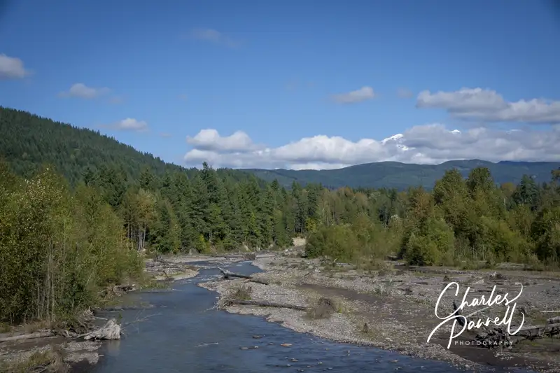
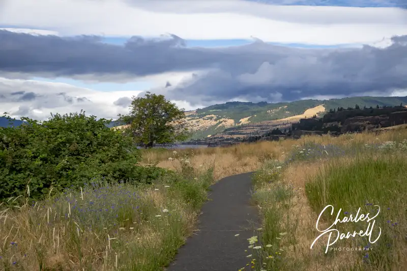
You can take the trail in either direction, but most folks choose to head east (left). The trail winds through a meadow and over to the Catherine Creek Falls viewpoint. It’s just a quarter-mile walk to the falls, and the area is filled with lilies, poppies and balsamroot blooms in the spring. The waterfall decreases to just a trickle in the summer months, but it’s rather impressive earlier in the year . And if you’d like to stay a spell, there’s also a bench in the waterfall viewing area. As an added bonus, there’s also a nice Columbia River view.
The next part of the route crosses a small footbridge and then an accessible boardwalk, before it splits into two trails. The trail to the right is the half-mile shortcut, and it’s a bit steeper than the longer route. The trail to the left winds along the Columbia River and then intersects with the shortcut, before it returns to the starting point for a 1.2-mile stroll. Although neither route is level, they both are accessible. And don’t forget to bring a hat, as there’s not much shade along the way.
Balfour Klickitat Loop
The final trail on our north shore collection of wheelchair-accessible Columbia River hikes is the Balfour Klickitat Loop. From the Catherine Creek Universal Trail, continue east along Old Highway 8 for about 4.5 miles. The trailhead is on the left, and although it’s marked, it’s east to miss. If you hit Highway 14, turn around and backtrack for about .2 mile.
This land was originally farmed by the Thomas Balfour family in the 1800s, and remnants of the Osage orange trees they planted are still visible along the trail today. There’s accessible parking near the trailhead, with level access over to an accessible vault toilet.
The .75–mile wide paved trail winds through a meadow and offers a panoramic Columbia River view, complete with parasailers. There are turn outs along the way for wheelchair-users, and this is also a great spot for wildflower viewing in the spring. At about the halfway point there’s a single accessible picnic table on a pad, with plenty of room for a wheelchair. It’s a great place for a picnic as it’s tucked off the trail in a private cove, but still offers a nice river view.
The trail then crosses a small bridge and continues along the meadow, with a view of the peaceful Klickitat River. It’s a great birding place, and bald eagles are known to congregate here during the salmon run in January and February. When you reach a fork in the trail, bear left to the return to the parking area. Although there is some elevation gain there, it’s within code, with resting spots every 20 feet. It’s a pleasant trail, that’s definitely worth a stop while road tripping along Highway 14.
Stay a Spell
After you finish exploring the Balfour-Klickitat Loop, head out Highway 14 to continue your trek east. Alternatively, you can extend your stay and explore this less-touristed side of the Columbia River.
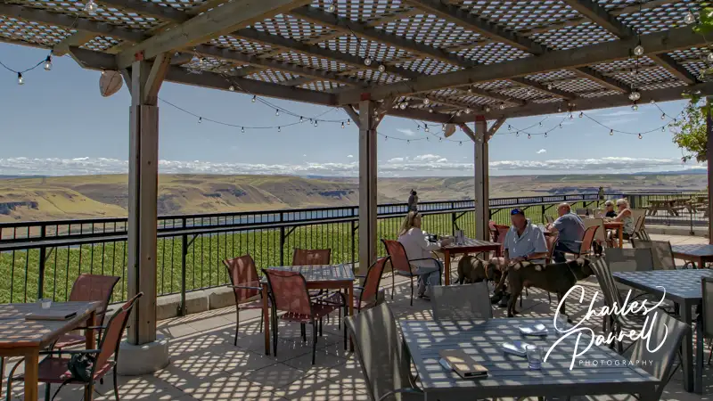
Maryhill State Park is located about 20 miles east of the Balfour-Klickitat Loop, and it’s a nice place to stop for a picnic or even spend a night or two. The Maryhill Museum, Maryhill Winery and Maryhill Stonehenge are also all worth a visit while you’re in the area. (emerginghorizons.com/linger-on-in-maryhill-state-park/).
If you’d like to stay a little further west, then check out Skamania Lodge (emerginghorizons.com/sleep-in-a-wheelchair-accessible-treehouse-at-skamania-lodge/). They have a good selection of accessible rooms that includes everything from a wheelchair-accessible treehouse to a spacious accessible cabin. And while you’re in the area, take a quick trip over to the Oregon side of the river and explore the Hood River Infinity Loop (emerginghorizons.com/drive-the-scenic-mount-hood-infinity-loop/) and the Columbia River Waterfall Corridor (emerginghorizons.com/explore-the-historic-columbia-river-highway-waterfall-corridor/).
And finally, if you’d prefer to camp out, then check out Beacon Rock State Park. It offers a nicely accessible campsite, as well as a few accessible hikes. Either way these wheelchair-accessible Columbia River hikes only take a few hours, and the scenery is most definitely worth the slight detour.

Barrier-Free Travel
Washington National Parks
for Wheelers and Slow Walkers